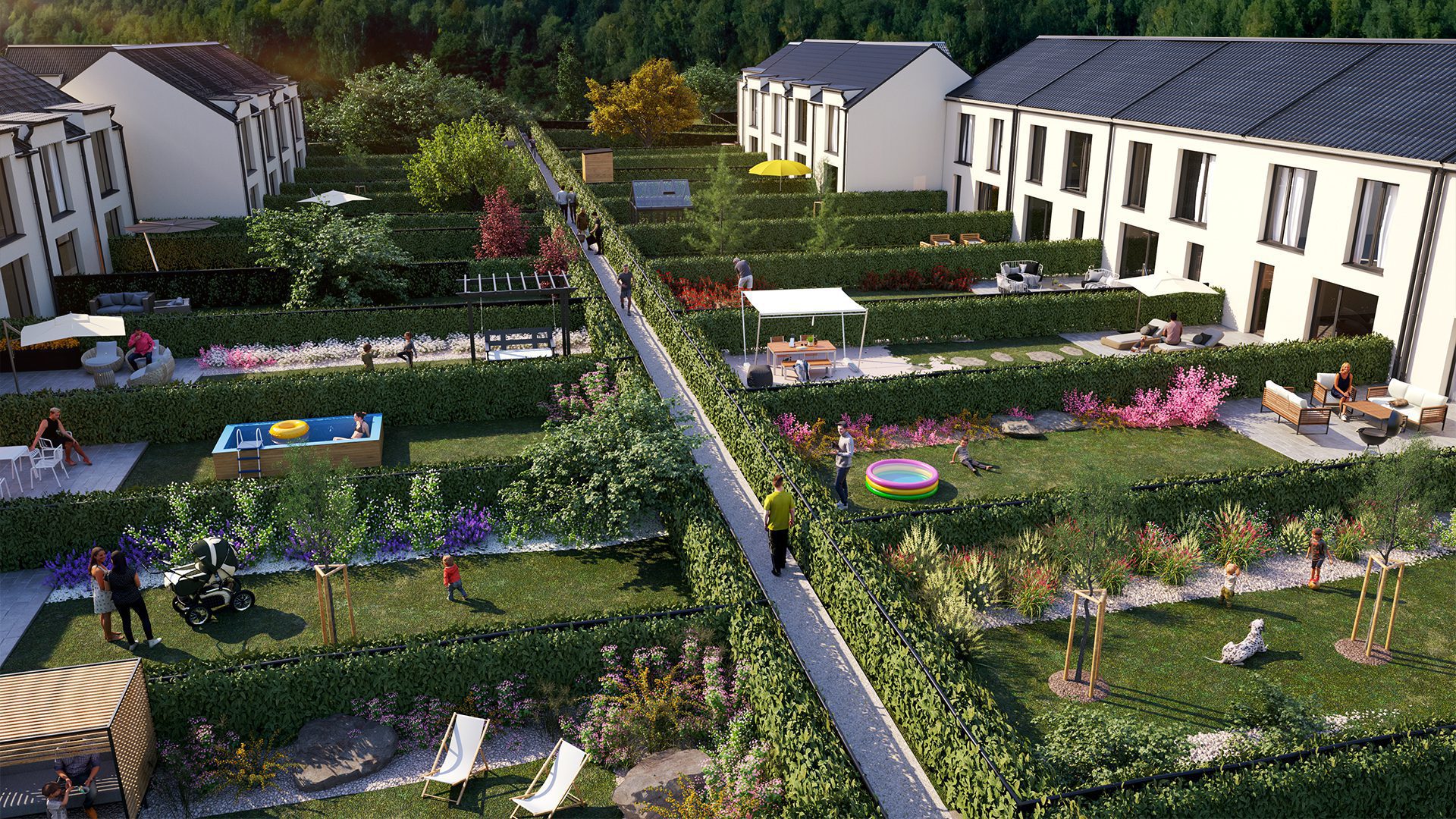
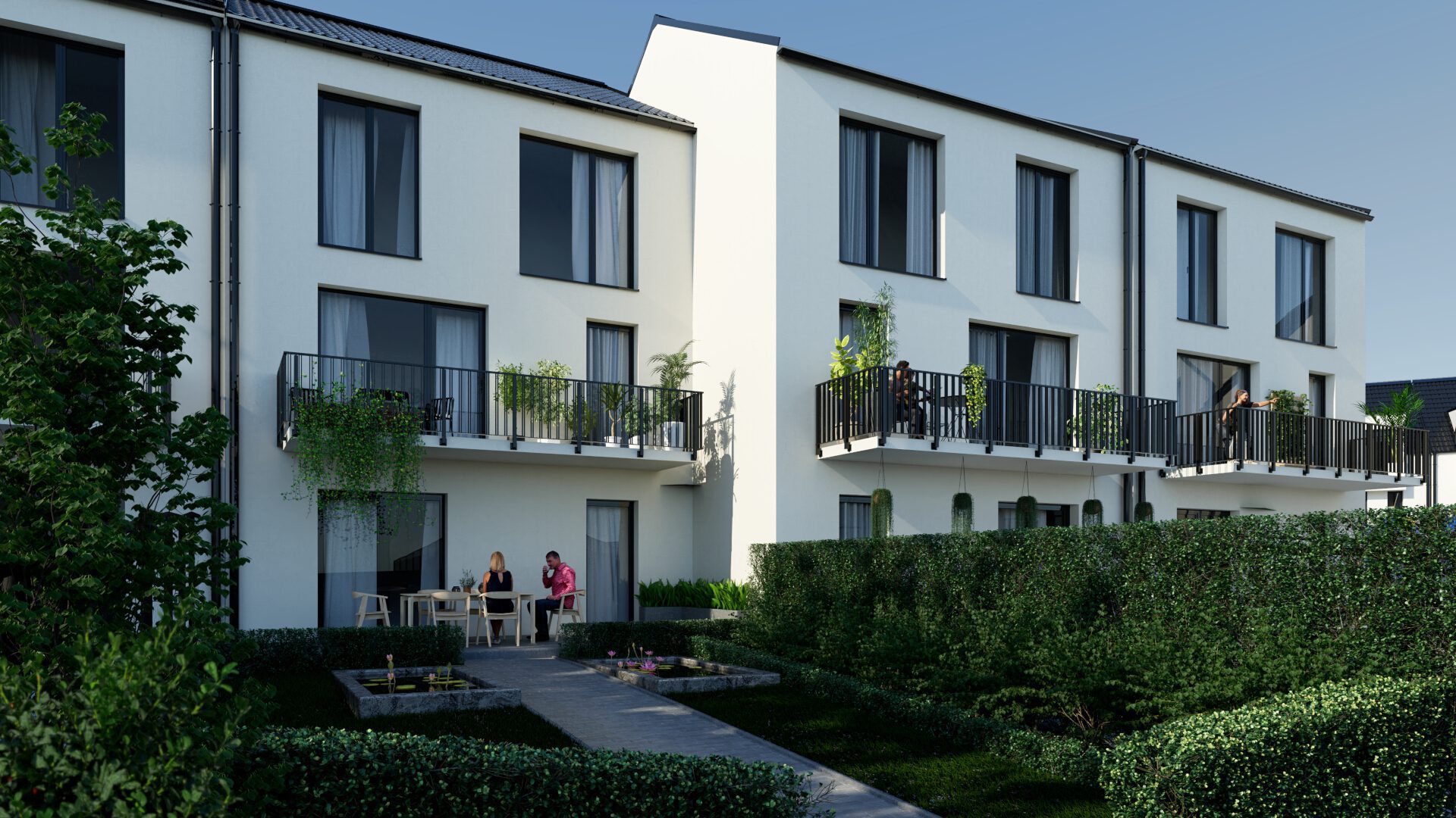
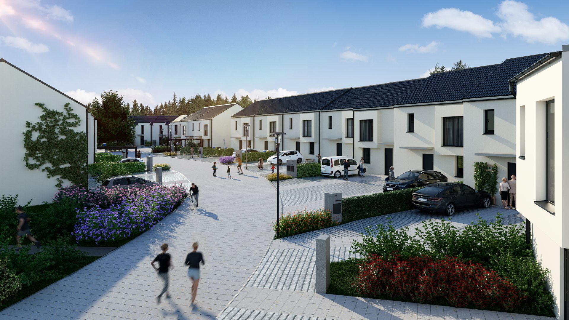
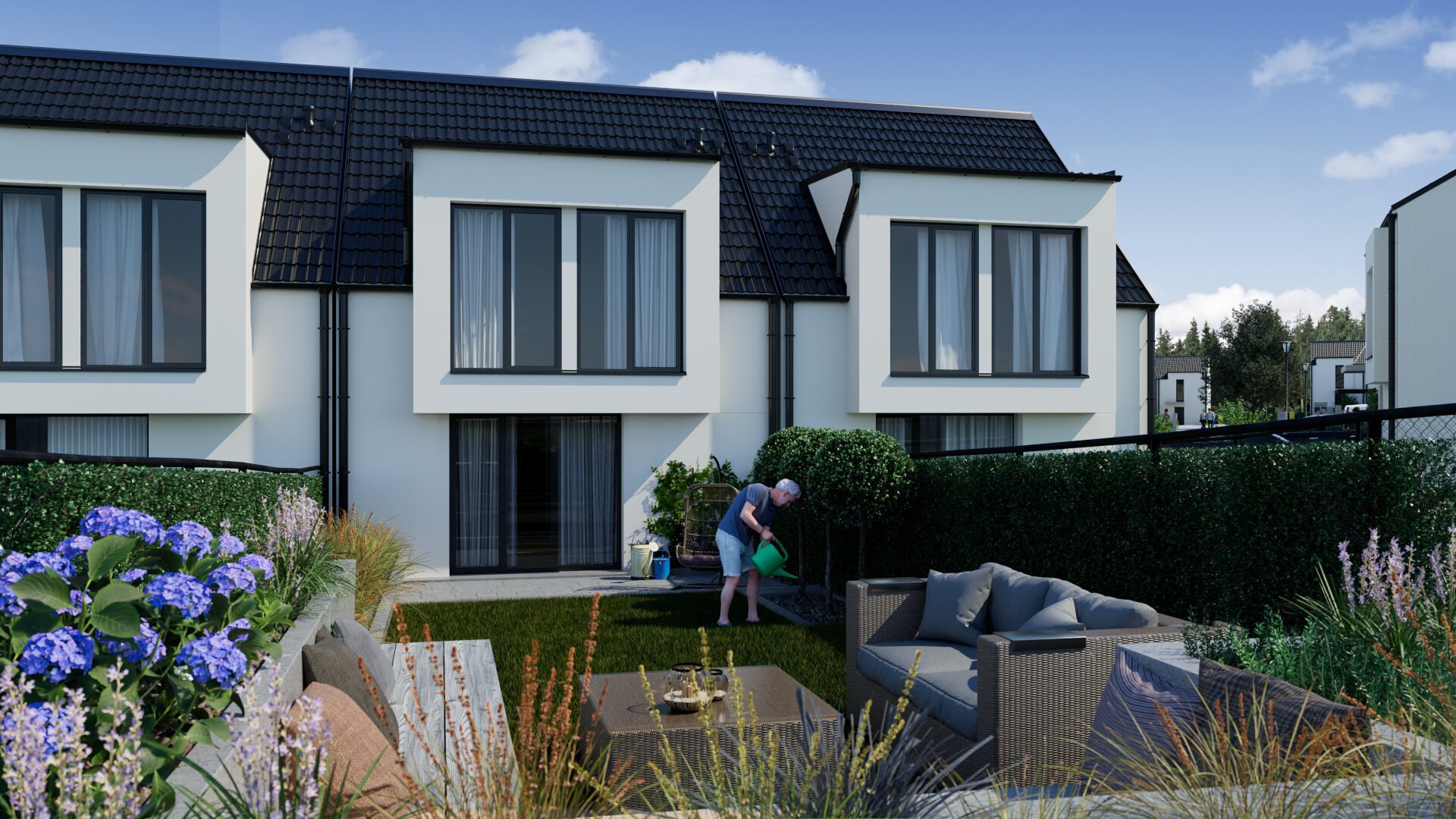
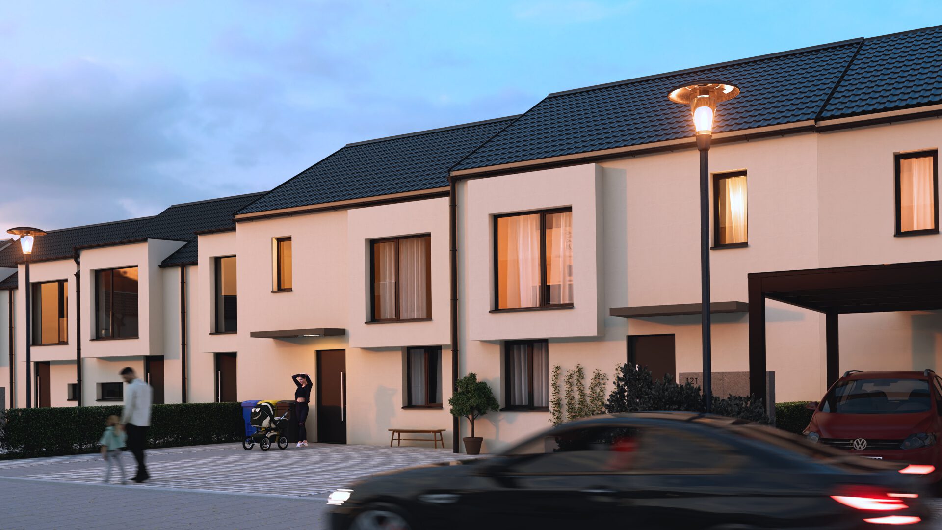
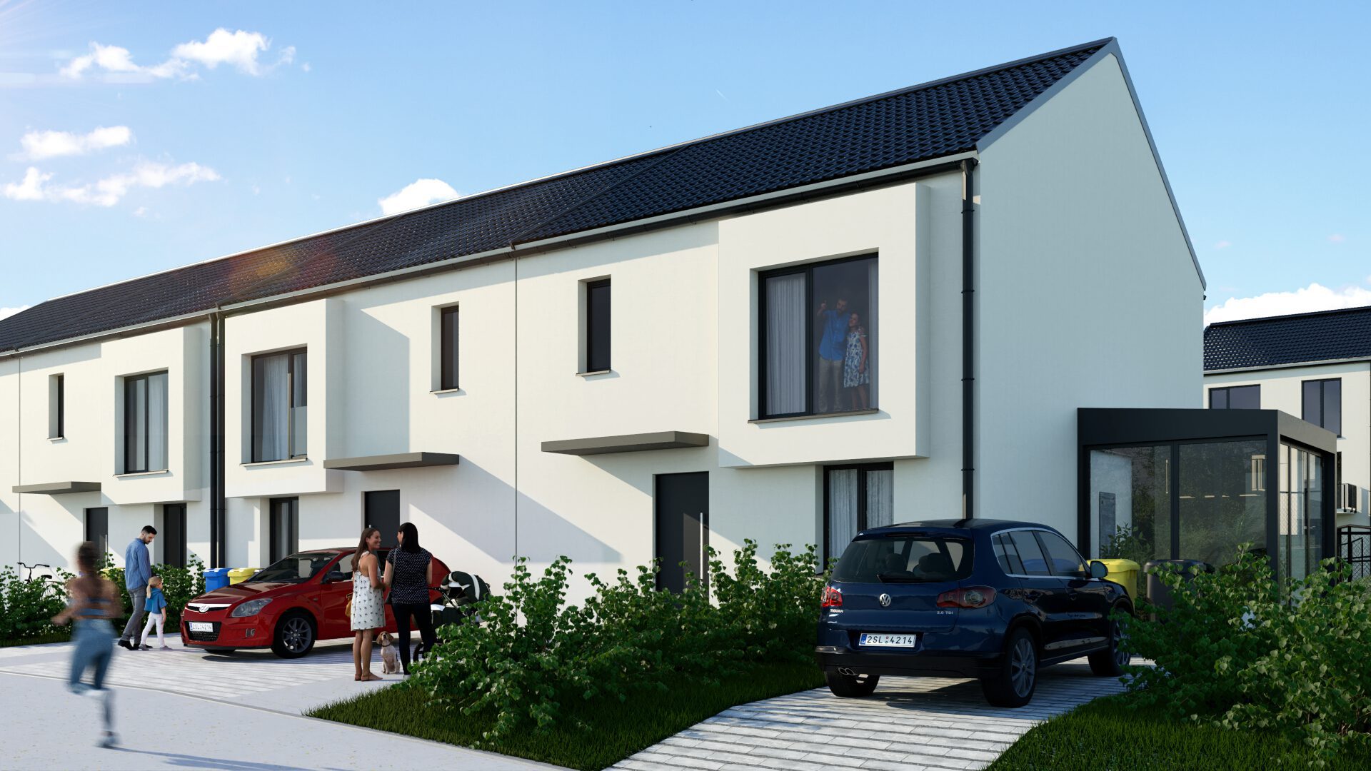
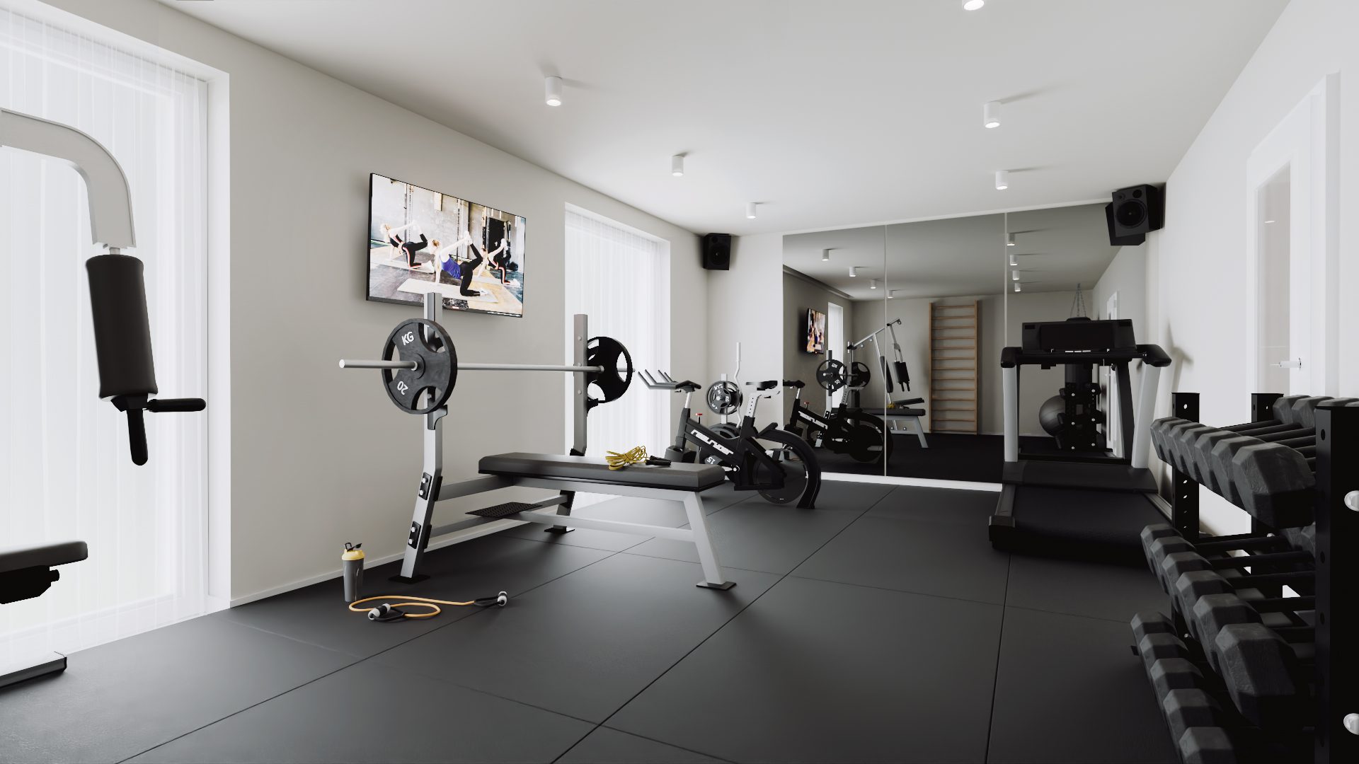
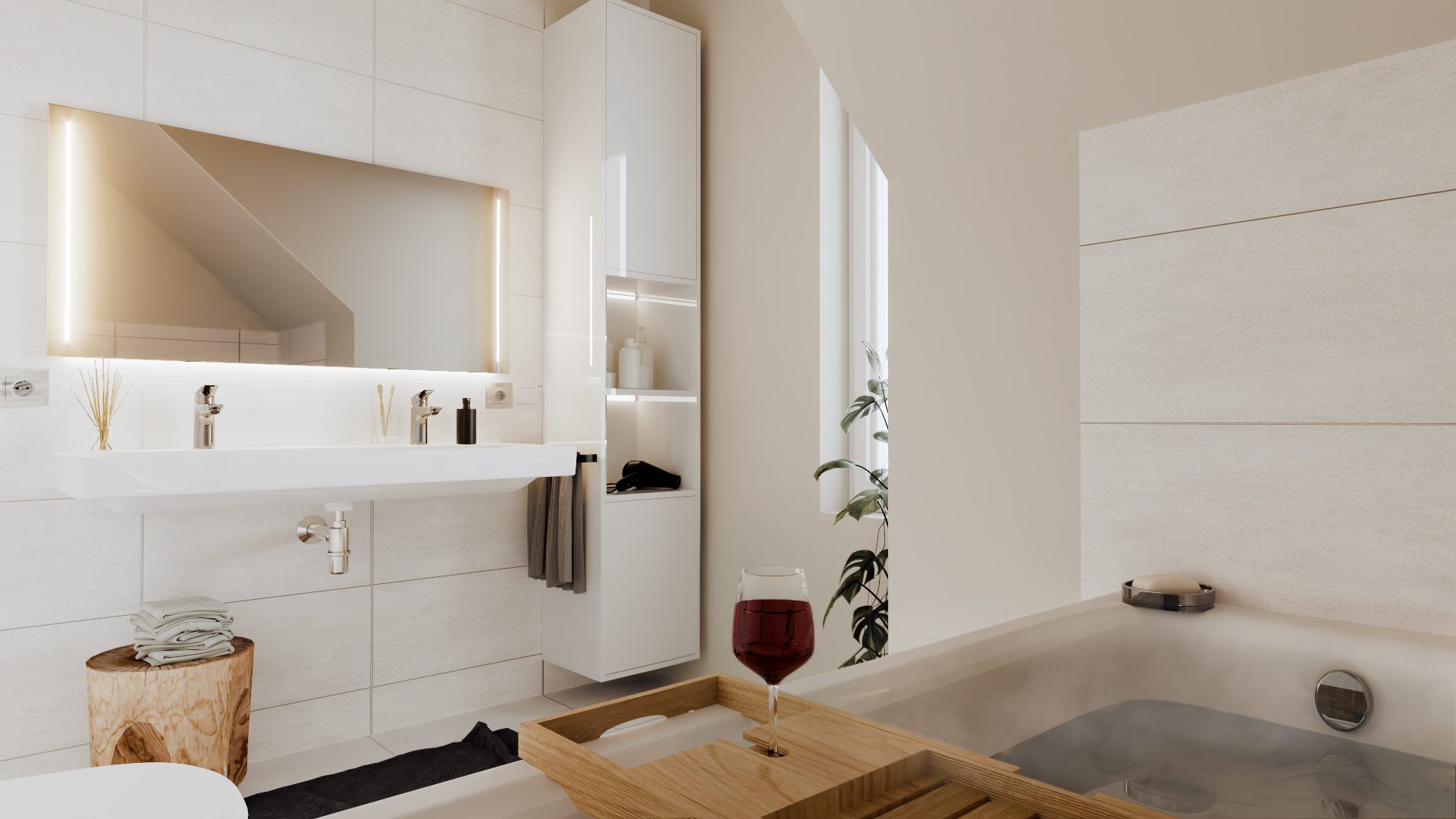
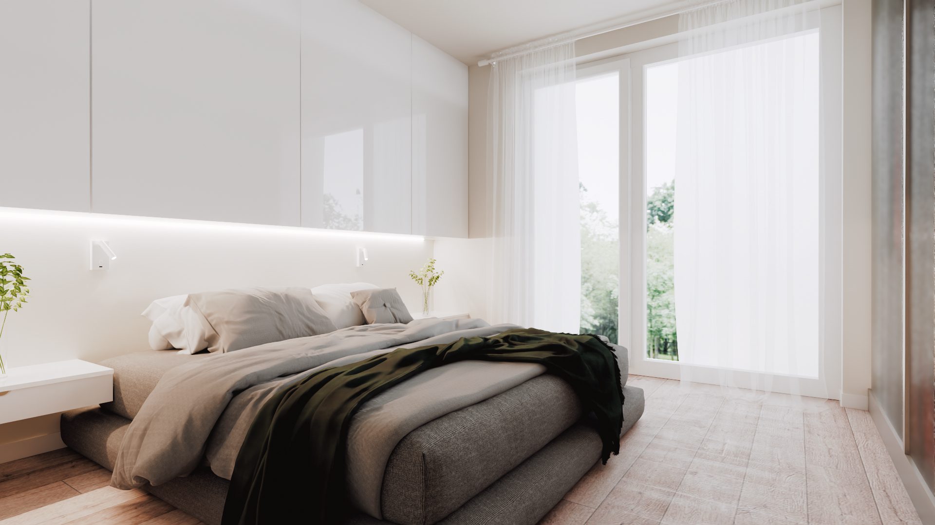
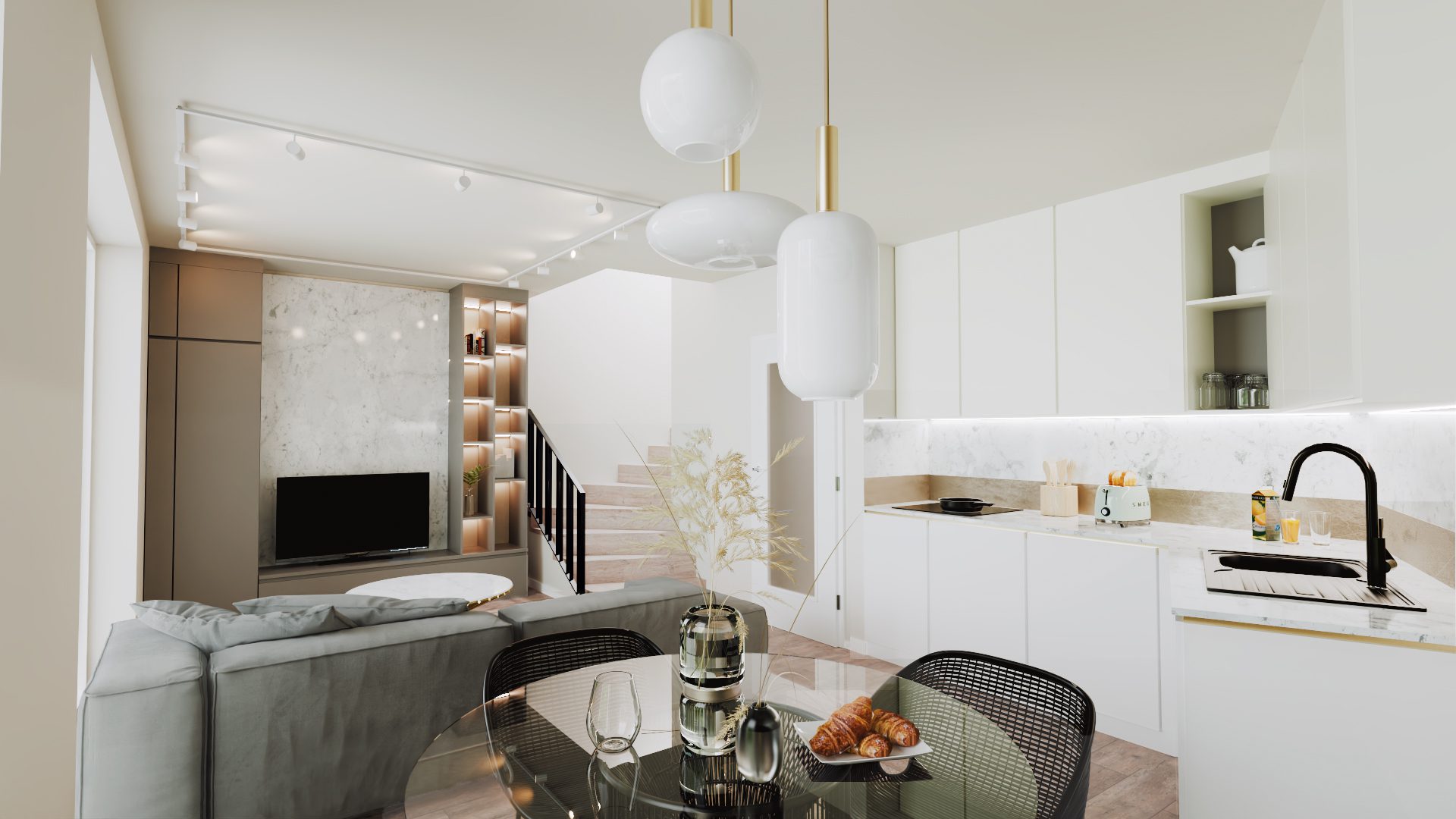
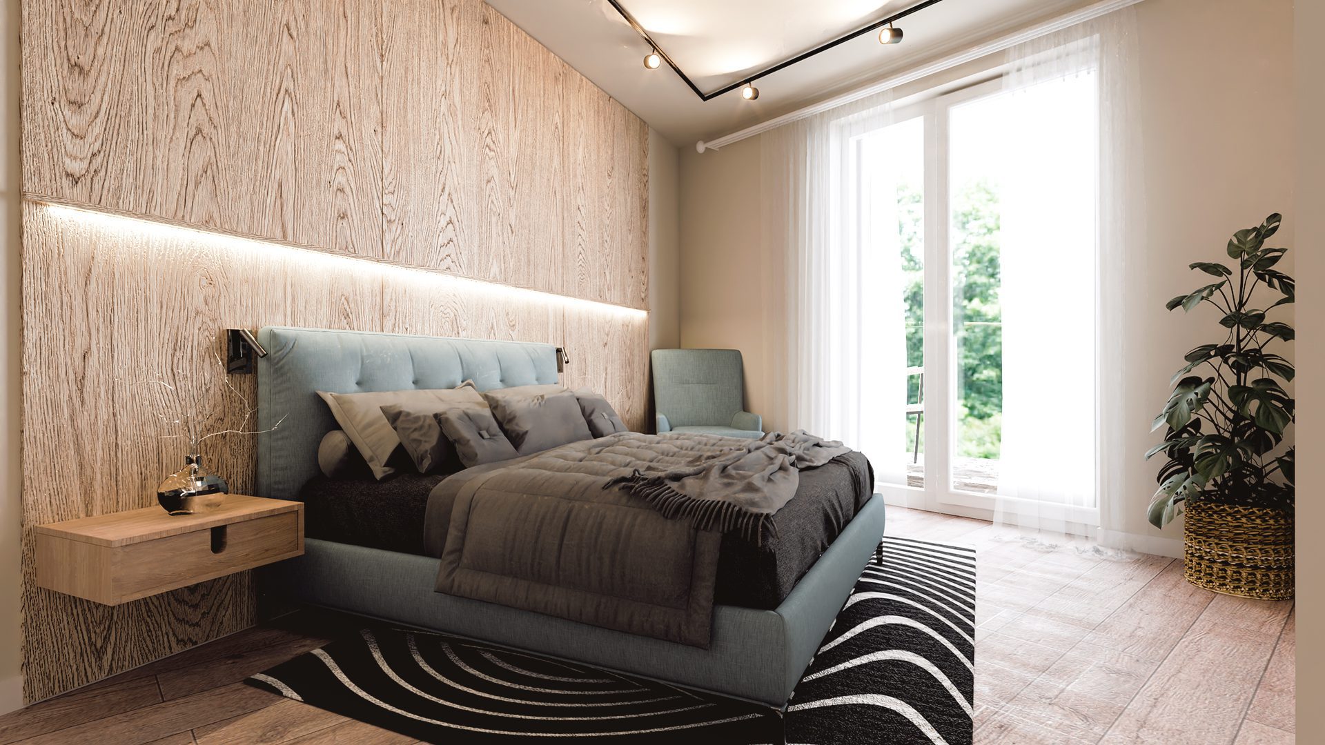
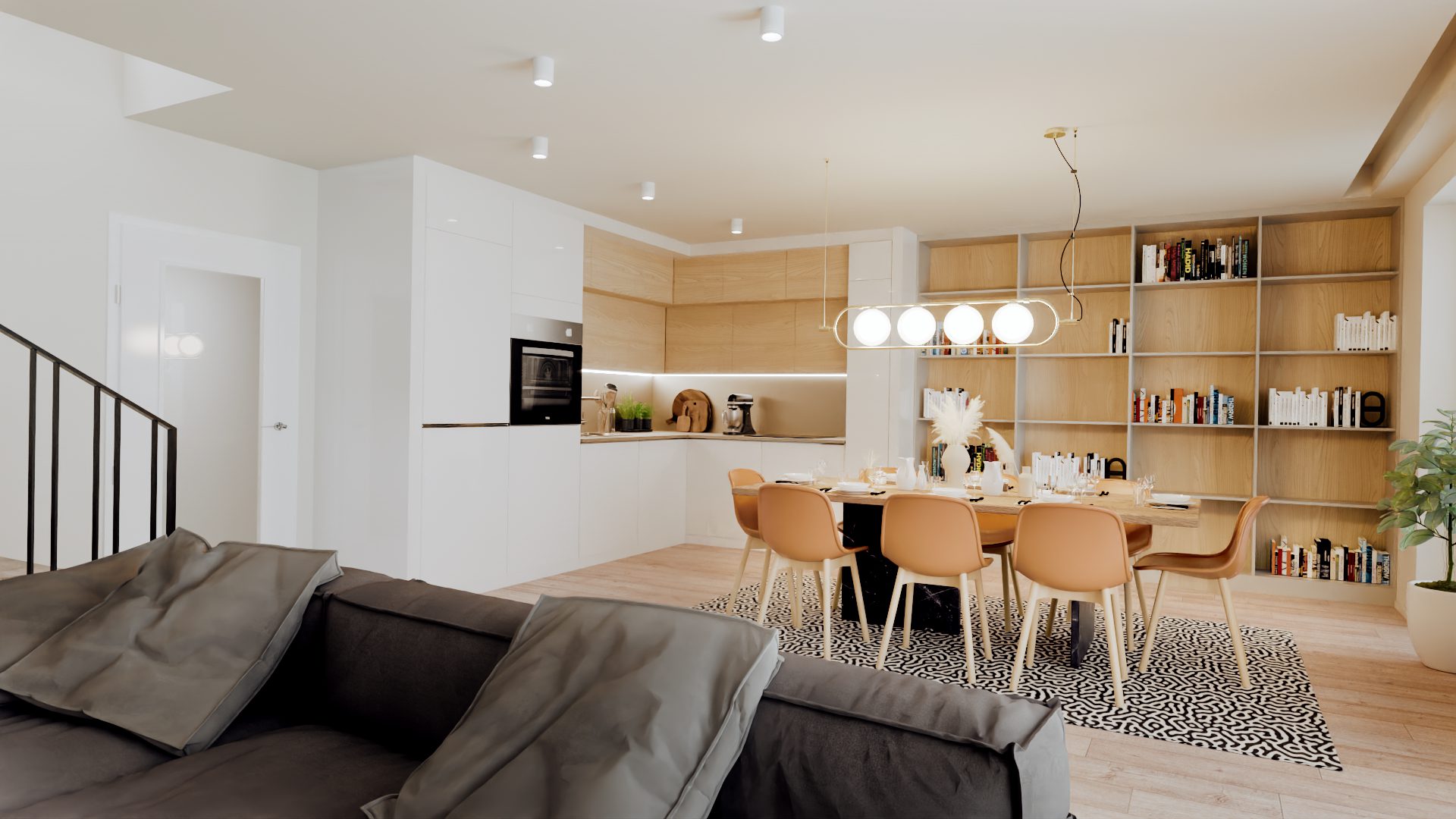
Getberg / Forest Views
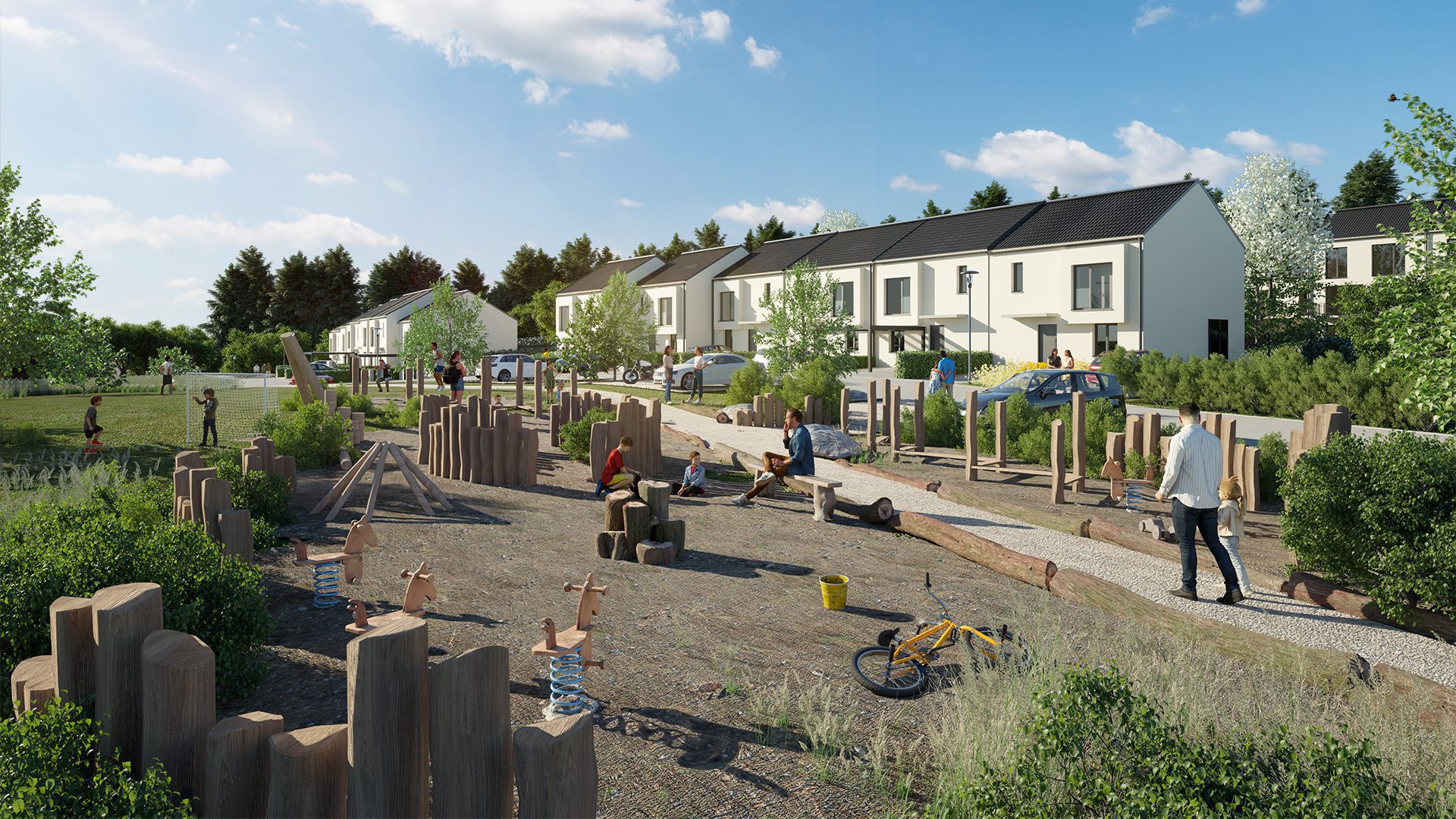
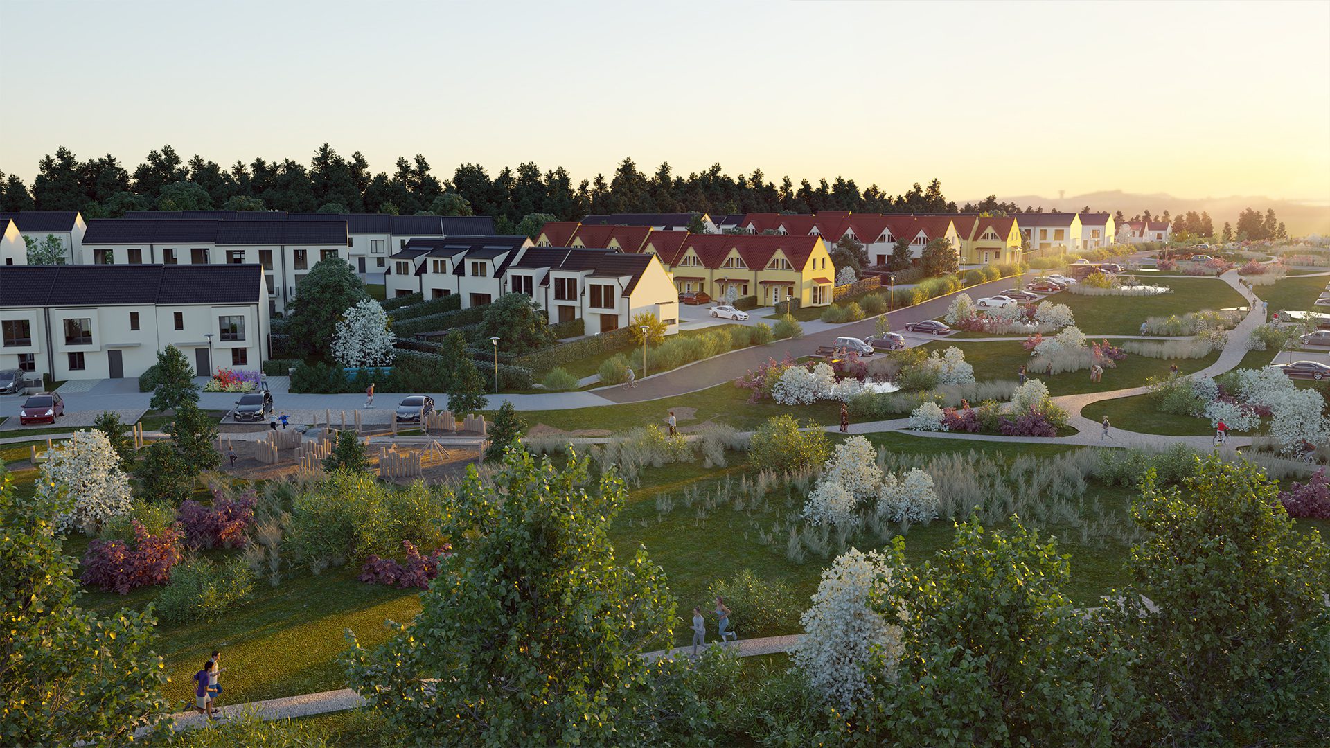
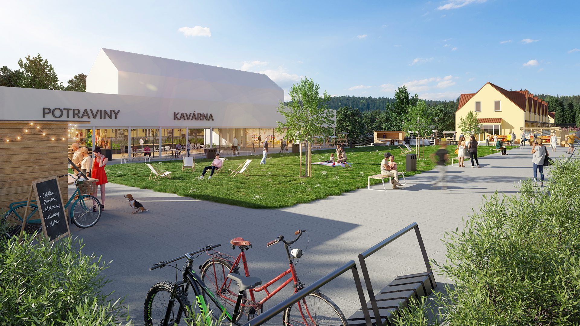
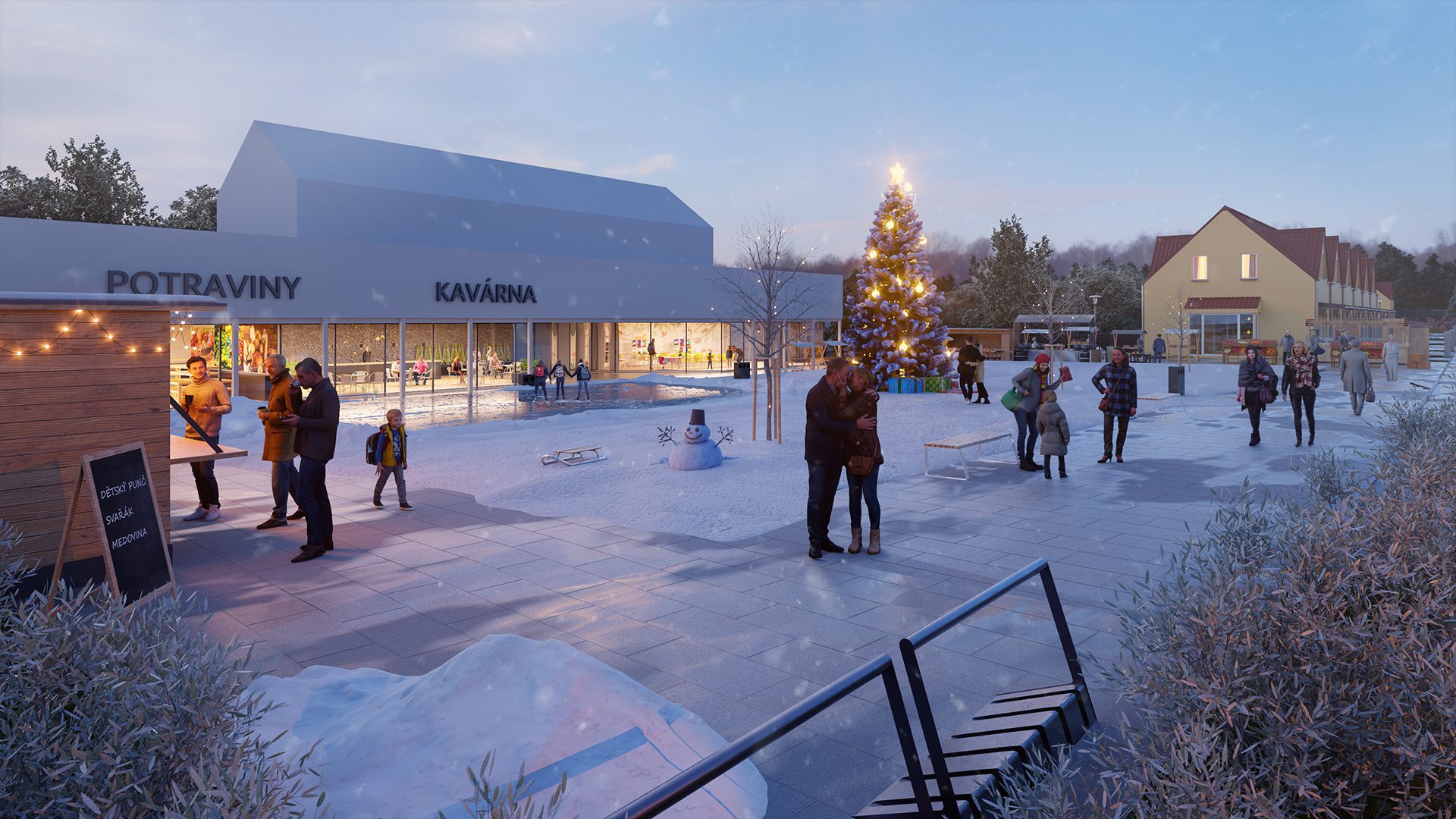
It is one of our biggest projects our team has ever worked on. Here, we utilized our teamwork experience and delivered a large number of visualizations in a limited amount of time. This complex project began by modelling the individual buildings according to house plans and modelling the terrain according to the geodetic survey. After that, we continued by building the scene and creating the visualizations themselves. This phase of the project was undoubtedly the most challenging, with intense discussions with the client and fine-tuning of the final results.
A unique feature of this project is the camera rotator going around the whole site, allowing the client to rotate the project and view the individual houses.
We used our drone to take footage of the location which was then processed for aerial visualizations.